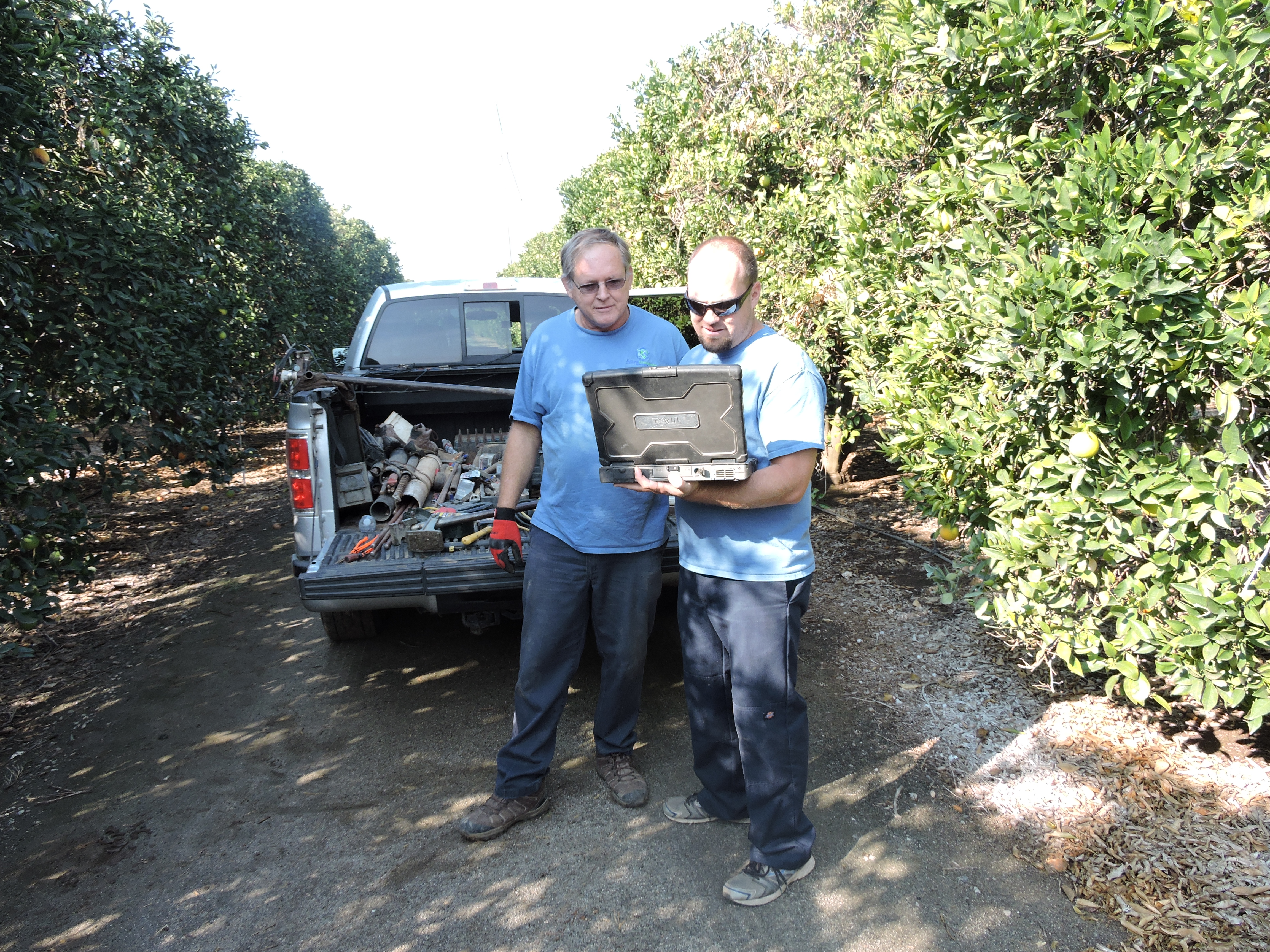
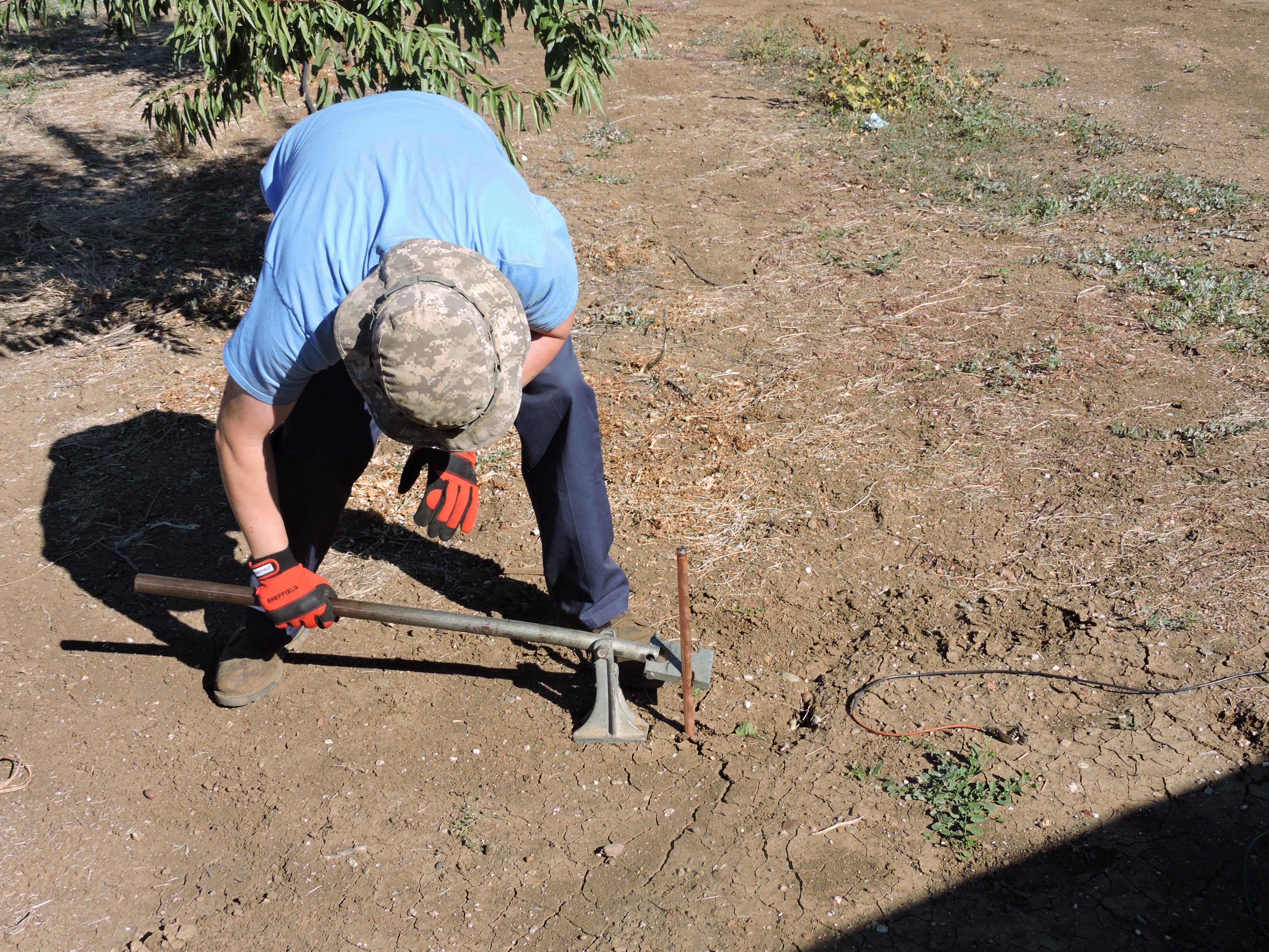
A typical survey consists of several steps. First, the customer and NGS representatives will select a site on the property where testing will begin. A single test consists of installing four ground rods in a row that are fifteen feet apart. Next, a black powder charge is set off. A pressure wave is created and that wave travels down through the earth. When the pressure wave crosses a water bearing zone, the disturbance creates an electrical response that is recorded by the Seismo-Electric Survey Instrument system. Each signal that is recorded contains information about the depth and yield of the aquifer. This data is considered raw data until it is reviewed and interpreted by our Geophysicist. Once the data is processed, a comprehensive report is published for you. In order to obtain the most accurate information, a set of five tests is required. The five tests must be 70 feet or less apart.

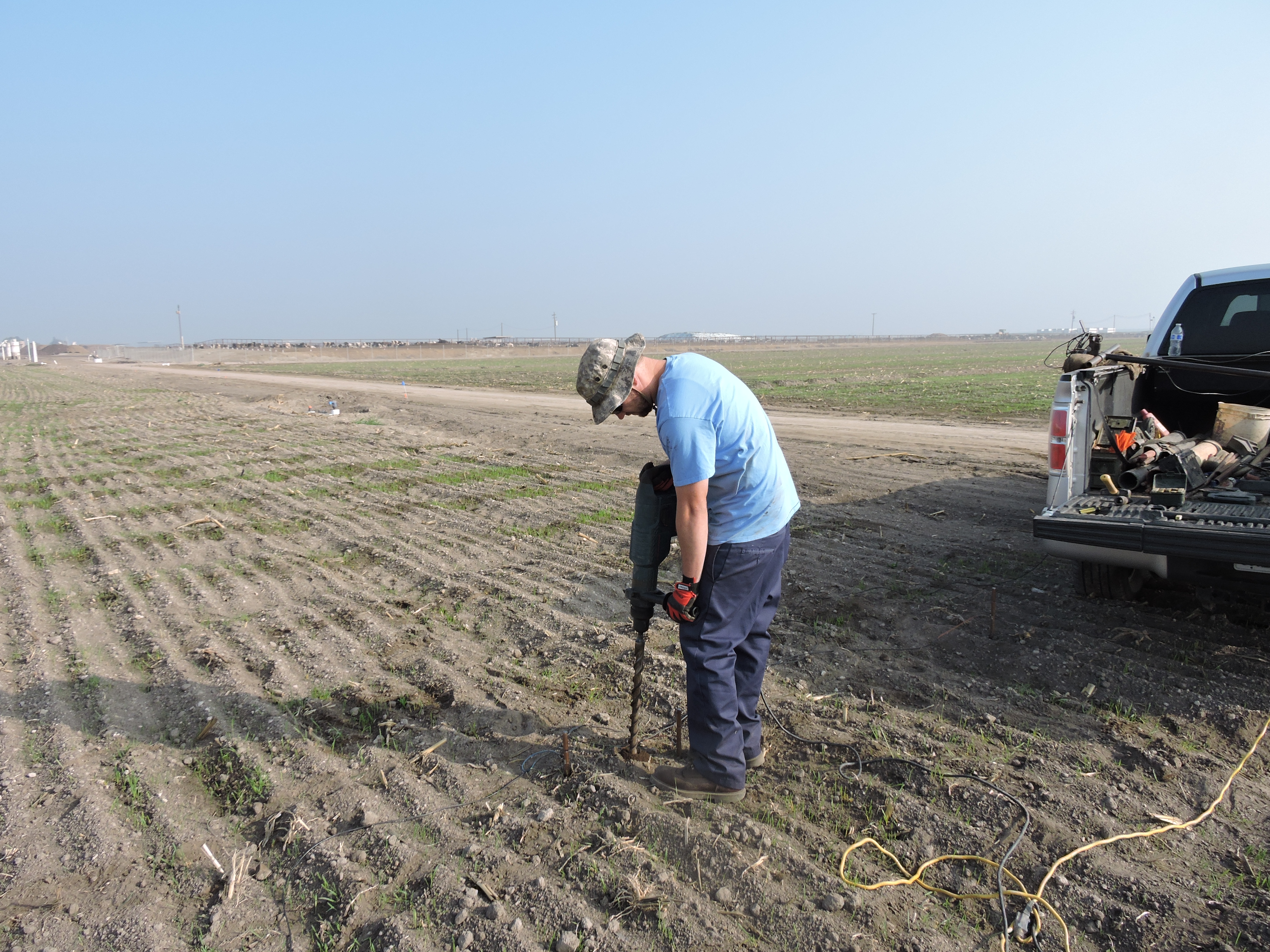


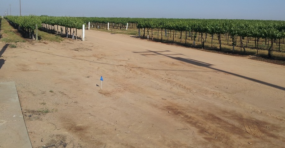
The test is unobtrusive and the area is left virtually undisturbed.
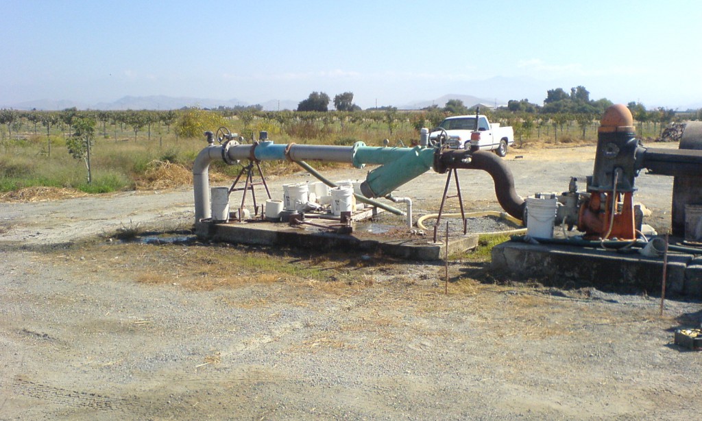
From single family home sites to large agricultural wells, call National Groundwater Surveyor at 559-259-4259.
We also provide Groundwater Surveys in Nevada, Arizona, and Oregon!